Hawaiian Volcano Observatory
Find U.S. Volcano
Current Updates and Notifications
Kīlauea
orange WATCH, 2025-03-27 05:55:00 UTC
HVO monitors earthquakes and the active volcanoes in Hawaii, assesses their hazards, issues warnings, and advances scientific understanding to reduce the impacts of volcanic eruptions. Communicating the results of our work to the public, emergency managers, and the scientific community is an important aspect of the HVO mission.
Active Volcanoes in Hawaii
Active Volcanoes in Hawaii
Very High Threat Potential
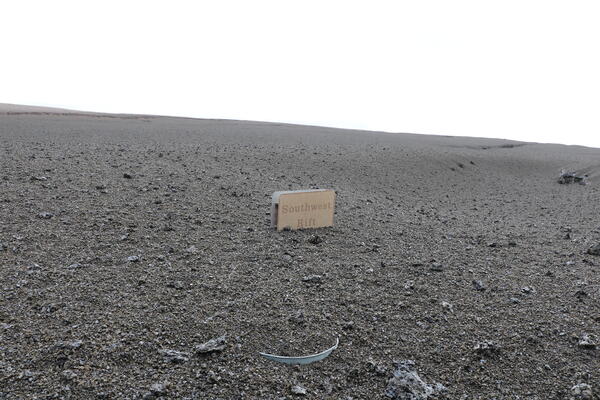
Kīlauea
Mauna Loa
High Threat Potential
Hualālai
Moderate Threat Potential
Haleakalā
Mauna Kea
Not Ranked
Kama‘ehuakanaloa (Lō‘ihi Seamount)
View the threat rankings of US Volcanoes.
News
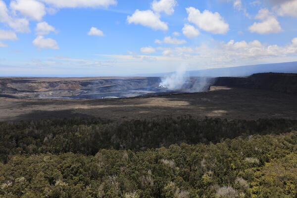
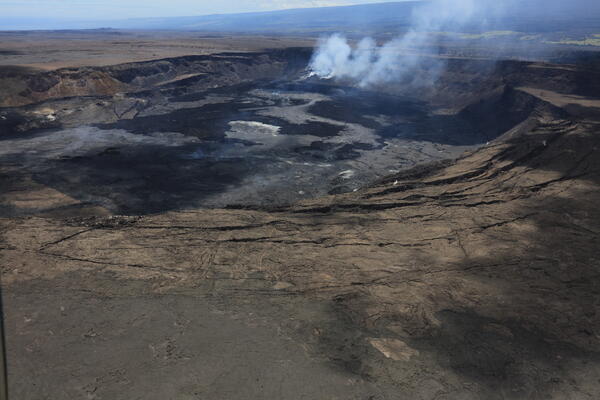
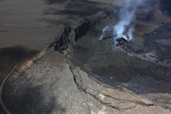
Photo & Video Chronology — April 7, 2025 — New Kīlauea maps and timelapse
Photo & Video Chronology — April 7, 2025 — New Kīlauea maps and timelapse
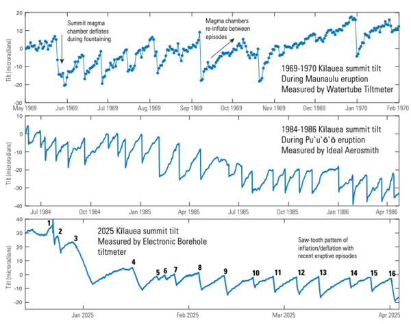
Volcano Watch — Kīlauea’s continuing summit eruption
Volcano Watch — Kīlauea’s continuing summit eruption
Photo & Video Chronology — April 2, 2025 — Kīlauea summit views after episode 16